Visit Chelan County
Chelan County Travel Advisories
Conditions · Closures · Real-Time Info
While Chelan County remains open to visitors, travelers are advised to stay abreast of current conditions. Conditions like wildfire smoke, road work, or river levels can shift across our nearly 3,000 square miles — so we recommend checking current conditions and planning ahead before you travel.
A Live Look Around the County
A live webcam and current air quality for each community we represent.
Webcams and air quality update automatically. Readings are live US AQI from AirNow (EPA), refreshed each visit — tap any reading to open that community's AirNow page.
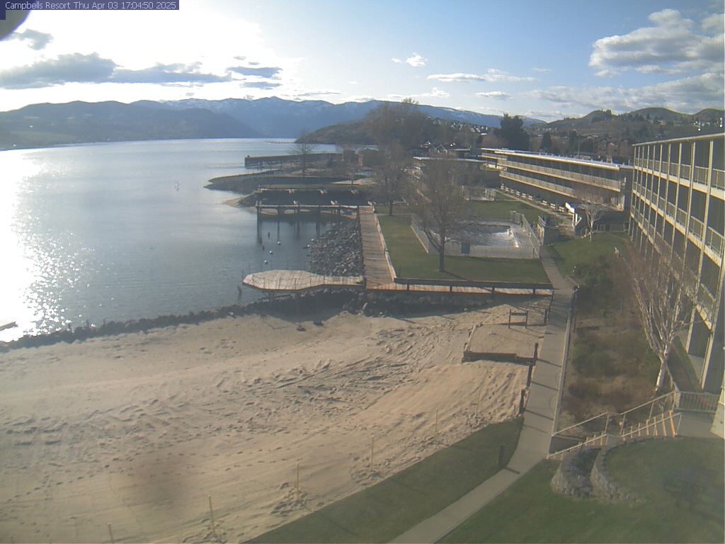
Lakeside town at the foot of 50-mile Lake Chelan — wineries, beaches, and boating.
Orchard-and-vineyard village on Lake Chelan's north shore, minutes from Chelan.
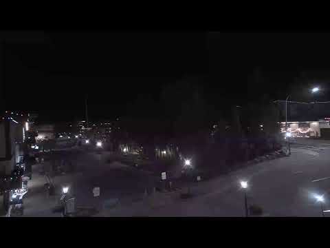
Bavarian-style village in the Cascades — dining, festivals, and river recreation.

The valley hub — riverfront trails, Pybus Market, dining, and gateway services.
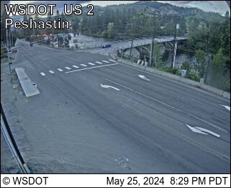
Historic orchard town, home of Aplets & Cotlets and small-town charm.
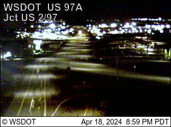
Riverside valley on the Columbia — a quiet gateway between Wenatchee and Chelan.
Current Situation
What travelers should know right now.
Little Giant Fire
As of September 10, the lightning-caused Little Giant Fire — which began July 15 — has burned more than 170,000 acres in the Okanogan-Wenatchee National Forest but is now roughly 80% contained. Crews have made steady progress, and the active-duty military support assigned to the fire wrapped up its deployment in early September. A few evacuation notices remain in effect in the immediate fire area — including parts of the upper Lake Chelan south shore, the Manson backcountry, and the Trinity and Chiwawa areas — with related closures across parts of the national forest.
Conditions differ significantly across Chelan County. Many communities remain safe and open for travel, while smoke can come and go. If your original plans are affected, consider an alternate destination where conditions are good, or support local businesses through a future visit, a gift card, or an online order.
Check current evacuation levels & closures: Chelan County Emergency Management ↗ · InciWeb fire map ↗
Fire size, evacuation levels, and closures change quickly. Always confirm the latest details with the official resources below before heading out.
Chumstick Highway roadwork and closure near Leavenworth
Starting 6 a.m. Monday, September 28 through mid-October, travellers on the Chumstick Highway between Leavenworth and Plain will meet slowdowns, lane closures and delays. WSDOT crews are repaving sections from milepost 0 to milepost 19, damaged when the road carried detour traffic during the December flooding in Tumwater Canyon.
At the same time, Chelan County Public Works has closed the Chumstick at Beaver Valley Road (mileposts 12–13) for about three weeks to rebuild a retaining wall lost in last winter’s storms. Allow extra time, or reach Plain and Lake Wenatchee via US 2 to Coles Corner and Highway 207 instead.
Before You Go
A quick checklist for safe, flexible travel during wildfire season.
- Know exactly where you're going, and stay outside evacuation and closure areas.
- Check fire maps, road closures, and air quality before you depart.
- Call lodging, restaurants, tour operators, and attractions directly for the latest info.
- Have a backup plan for outdoor activities in case smoke worsens.
- Respect road closures and evacuation zones — don't stop to watch fire activity.
- Give firefighters and crews room to work.
- Keep recreational drones grounded near wildfire areas — they ground firefighting aircraft.
- Follow all current burn bans and fire restrictions to help prevent new fires.
Official Resources
Go straight to the source for real-time, authoritative information.
Emergency Alerts
Sign up for free Chelan County alerts (Everbridge) — evacuations and safety notices by text, email, or call.
Sign up ↗Fire & Evacuations
Current wildfire size, maps, closures, and evacuation levels on the national incident system.
InciWeb ↗County Emergency Mgmt
Chelan County Emergency Management — official updates, evacuation info, and preparedness.
Visit ↗Smoke & Air Quality
Washington Smoke Blog forecasts, plus the AirNow Fire & Smoke Map for live AQI readings.
WA Smoke Blog ↗Roads & Passes
WSDOT real-time travel map, cameras, and pass reports for US-2, US-97, US-97A, and SR-971.
WSDOT map ↗Rivers & Water
USGS live streamflow for the Wenatchee, Entiat, and Columbia — know conditions before you float.
USGS data ↗Regional Smoke — Satellite
NOAA GOES-West live satellite loop of the Pacific Northwest — see where smoke is moving across the region.
GOES-West loop ↗Support Local — Now or Later
When conditions are good, keeping your plans makes a real difference for our small businesses. When they're not, you can still help: book a future stay, buy a gift card, or order online. Every visit and every purchase supports the people and places that make Chelan County special.
In an Emergency
If you see fire or smoke that isn't reported, or you're in immediate danger: